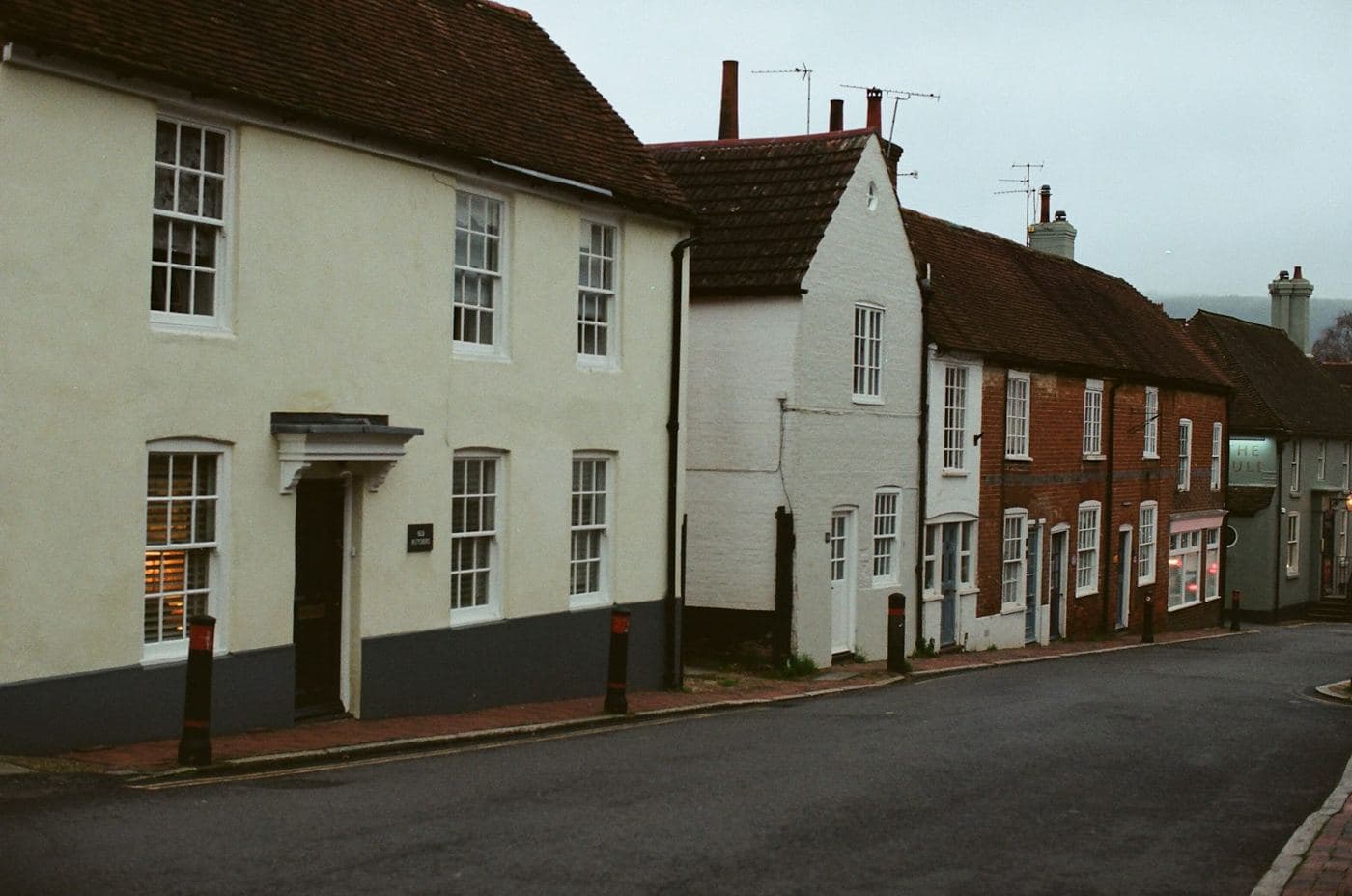
Is this the same place, or just the same wording?
Two records can name one building in two ways, or two buildings in one way. Matching on the text is guesswork.


Addresses, routes and regions turned into one exact location that every system you run can agree on.
APIs · On-premise engines · Digital twin
Someone searches an address; the result lands under a fingertip on a white table, and a grid spreads from it down to the exact spot.
What it's for
Two records can name one building in two ways, or two buildings in one way. Matching on the text is guesswork.
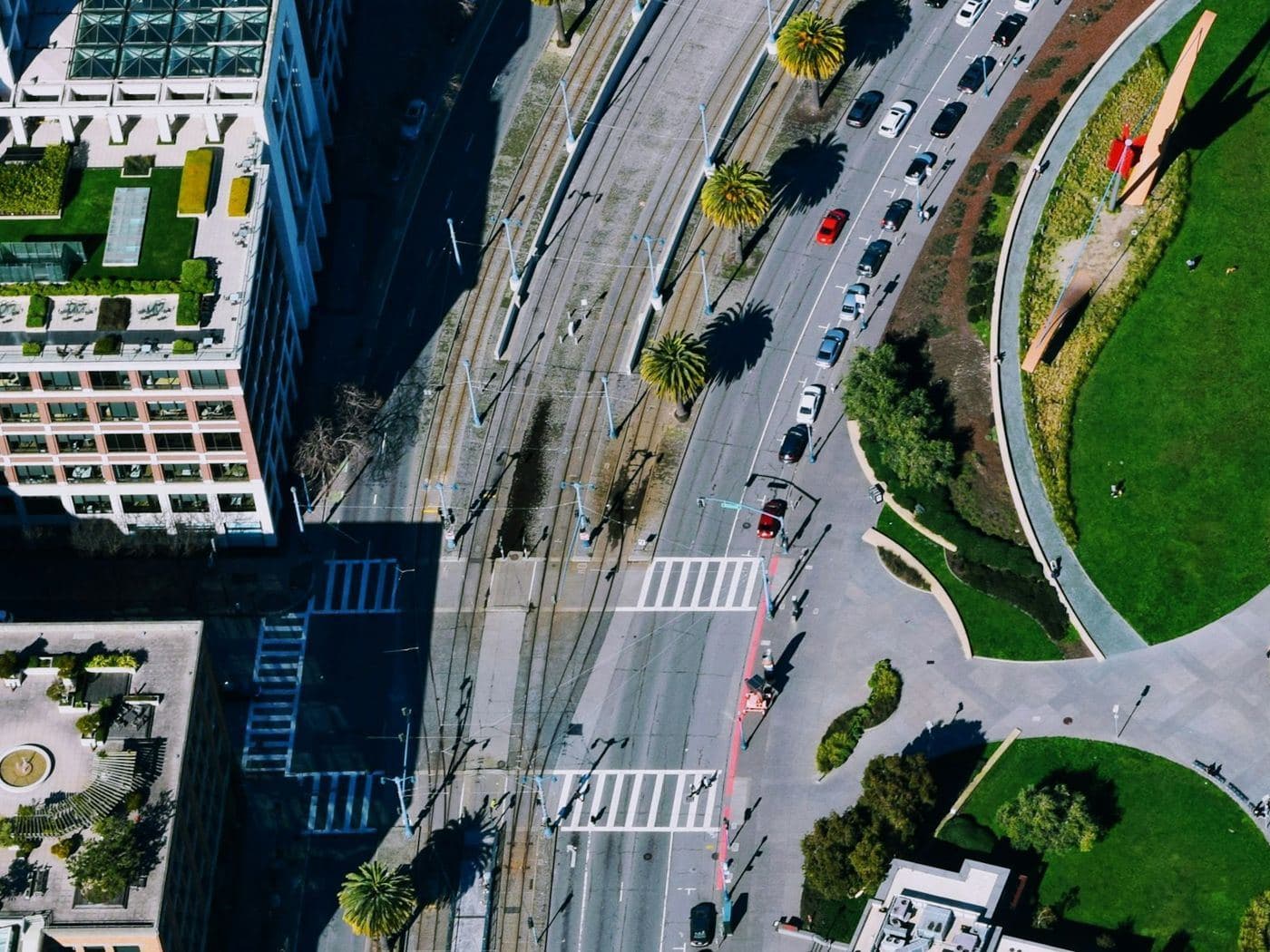
Within this radius, along this route, inside this district — answered in the shape you asked the question in.
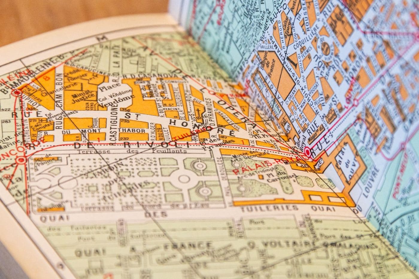
Yours, a partner's and an authority's on one shared measure, instead of reconciled by hand every time.
How it works
Instead of storing a place as text, TGB Cloud covers it with squares from a single global grid. The squares are the same for everyone, which is what makes two datasets comparable.
Coarse
A region at a glance — planning and reporting.
Finer
Neighbourhood and site level.
Finest
Down to the individual building or asset.
What you can pinpoint
One building, not the whole block
An address resolves to the squares under that footprint — not a pin dropped somewhere on the street.
A delivery route, door to door
A line becomes the chain of squares it passes through, so anything along the way is one lookup.
Everything within 400 m
A catchment around a store, a depot or an incident, answered as a set of squares you can count and compare.
Two records, one place
“Main St 12” and “Hauptstraße 12, rear” land in the same square — so the systems agree they are the same place.
Product categories
TGB Cloud is more than API services. Subscribe to geo-spatial APIs, deploy dedicated engines on your own infrastructure, or build a digital twin of your real-world data with Clustwino.
Convert addresses, points, lines and polygons into AreaSeal codes. Self-serve subscriptions that go live in minutes — no infrastructure to run.
Browse APIsNo subscription — get in touch and we'll tailor a deployment to your own infrastructure. Your data never leaves your premise.
Contact usTurn real-world data into a queryable digital twin, rolled out as an independent sub-platform the moment you subscribe.
Explore ClustwinoThe API catalogue
Cloud-based conversion of geographic data into Open AreaSeals (OAS), powered by the geoGRIM kernel — subscribe to only the geometries your application needs.
Convert addresses into AreaSeal Stack codes for precise, grid-based location representation and spatial analysis
View APIsA solution that converts GPS coordinates into grid-based Areaseal codes for precise spatial analysis and location management
View APIsConvert GPS coordinates of line geometries into Areaseal codes and grid-based representations for advanced route management and spatial analysis
View APIsConvert polygonal GPS coordinates into Areaseal codes with flexible grids for precise spatial analysis
View APIsA tool for visualizing Areaseal codes, converting them into shapes, retrieving related codes, and identifying neighboring grids
View APIsOn-premise engines
Engine products are deployed on your own on-premise or dedicated server. Instead of a subscription, get in touch and we'll set up a deployment tailored to your infrastructure and configuration.
Convert and process geometric shapes into AreaSeal grids on your own infrastructure.
Clustwino (Plus2) is a structured-database product available under TGB Cloud. On subscribe it rolls out as an independent sub-platform where you can store and structure real-world data — addresses, buildings, roads and infrastructure — as a digital twin, with hierarchical sharing from street to state to country level.
Self-serve subscription, billed monthly. On subscribe, Clustwino rolls out as your own independent sub-platform.
Tell us about your use case and our geo-spatial experts will get back to you.
Prefer another way? Email sales
We use cookies to ensure you get the best experience on our website. For more information on how we use cookies, please see our cookie policy.
By clicking "Accept", you agree to our use of cookies.
Learn more.